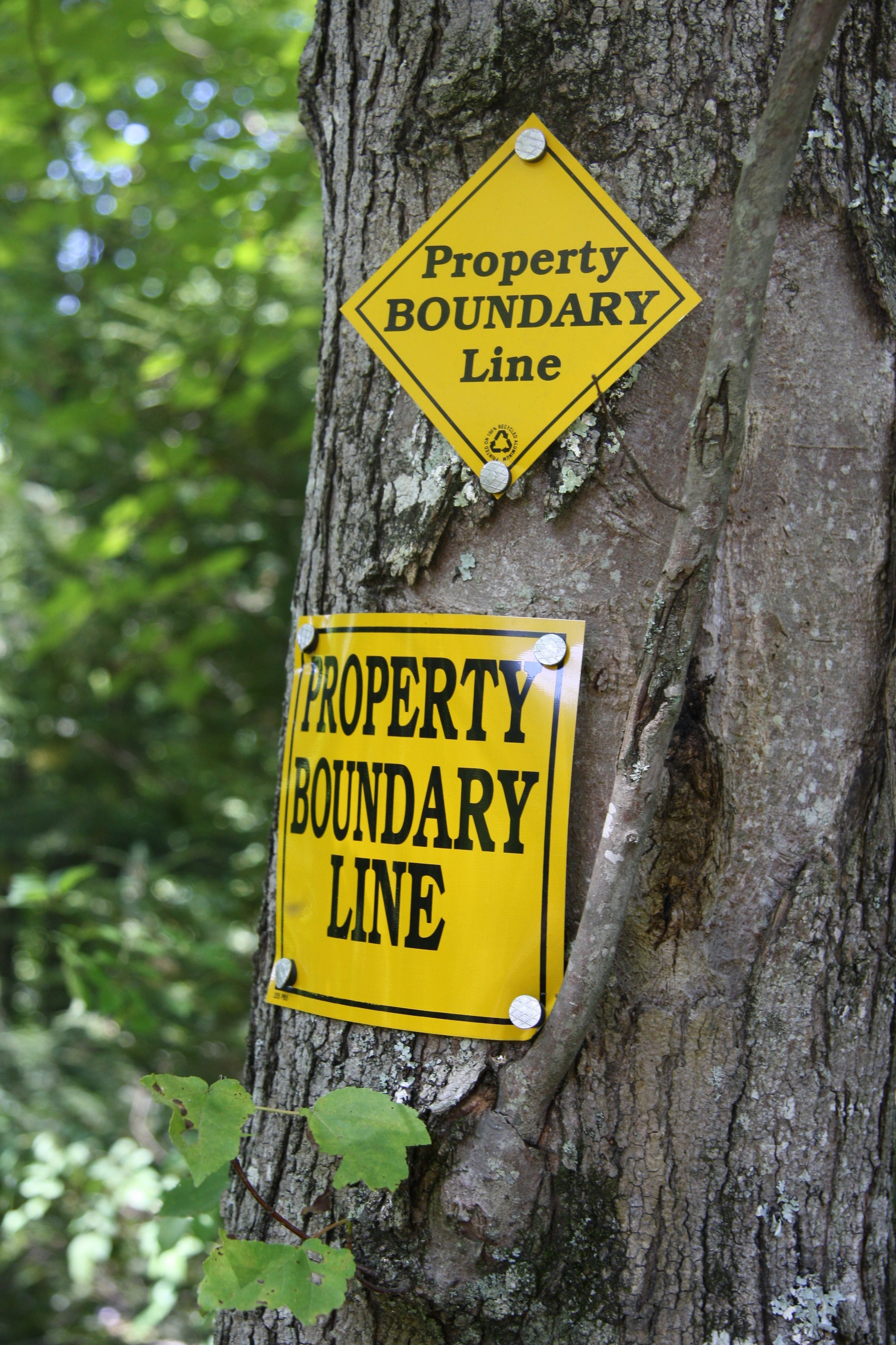
We as forest owners are often confronted with a basic inquiry: where exactly is my boundary? Usually the reason for the inquiry is the occurrence or possible occurrence of some event which will change the status quo, such as a sale of the property, timber harvest, installation of a pond or erection of a building at or near the property line. Unfortunately for many of us, the expense of a survey provided by the seller as in urban property purchases was a “deal killer” which we were willing to forego if it meant paying for it ourselves. Now, long after the transaction closed, a boundary must be located. Where does one begin?
The first step is to decide what level of reliability is needed. Often we want to assure ourselves that we are being good neighbors prior to planning a project. An open discussion with the neighbor in question will often turn up a survey, understandable deed description, unknown monument or some other indication of where the line is. It is not always the best policy to give your neighbors the opportunity to opine on their view of where the line is as it will create an immediate conflict if you don’t agree. They may claim that some of your best timber that you so carefully nurtured alI these decades is on their side of the line. When in doubt, consult a professional.
Which professional you consult will depend upon your need. Most foresters have been trained in boundary location techniques and can be consulted prior to starting woodswork such as TSI or a timber harvest. A survey as such can only be prepared by a licensed professional engineer or a licensed land surveyor according to New York law. Surveys of large acreages are costly and time consuming. However, there is no substitute for a survey if you are planning a permanent improvement such as a building or a pond. Also, a single line sometimes can be staked between two properties on a shared cost basis if an agreeable surveyor can be found. Ask your lawyer for a recommendation of a good, reasonable (time and price) surveyor in your area.
This is the first part of a multi-part series all the boundary laws in New York. Dave Colligan, a member of NYFOA’s Niagara Frontier Chapter, is a practicing attorney with a Buffalo law firm (Colligan Law LLP; 600 Bank of America Building, 12 Fountain Plaza Suite 600 Buffalo, NY 14202) and regularly provides articles on legal matters of interest to forest owners.
THE NY FOREST OWNER 31:6; 17; Nov/Dec 1993
BOUNDARY LAW PART II
In the last article, we considered when it was best to establish the boundary line by ourselves or with professional advice. This article will primarily discuss how surveys are prepared and how to read them after we get one. Although there are many types of surveys, the most common one is a boundary survey which shows the perimeter of the parcel relative to physical evidence of occupation. This occupation could be the existence of fences and/or hedgerows, the location of drives or access roads, and even structures.
Common title problems appearing on boundary surveys are encroachments, gores and overlaps. An encroachment is a structure, fence or drive crossing onto or across the property. Some people consider a gore a Vice President; it is a generic term for a gap between adjoining parcels caused when metes and bounds legal descriptions are plotted. Overlaps occur for the same reasons as gores.
To help your surveyor do a competent job, you should supply the surveyor with your deed with a metes and bounds legal description, any prior surveys, and the title abstract. Often the documents you provide together with the surveyor’s field work, creates a conflicting array of information. Generally, the order in weighing conflicting deed calls is:
- Possession or Occupancy (unwritten)
- Senior rights from deed of origin (not senior citizen!)
- Reference to a survey
- Reference to a physical point or monument
- Distance
- Direction
- Area
After the survey is prepared you get to read it. All surveys indicate the north point; and that is a good place to begin your review. Next, look at the legal lines of abutting streets and roads. Many people don’t realize part of their front yards belong to the dedicated roadway. Follow the property line around, noting the evidence of occupation referred to earlier. Be alert to encumbrances and other noted problems. Surveys are supposed to show all monuments, stakes, iron pipes, or other apparent boundary markers; but snow, weeds, and myopia all limit the surveyors ability to note these markers. Next, look at the interior to see what ponds, streams, buildings, and other physical characteristics are shown. If you have an easement over your property for a gas, electric, or phone line, or if someone has access or egress over your property; that should also be shown. Finally, look at your neighbors’ boundaries to see if all your boundary questions are answered to your satisfaction. Do not be afraid to call your surveyor to ask about what his field notes say about your unanswered questions and to ask him to note the answers on the survey or to go back out to collect the necessary data to answer your questions.
Dave Colligan, a member of NYFOA’s Niagara Frontier Chapter, is a practicing attorney with a Buffalo law firm (Colligan Law LLP; 600 Bank of America Building, 12 Fountain Plaza Suite 600 Buffalo, NY 14202) and regularly provides articles on legal matters of interest to forest owners.